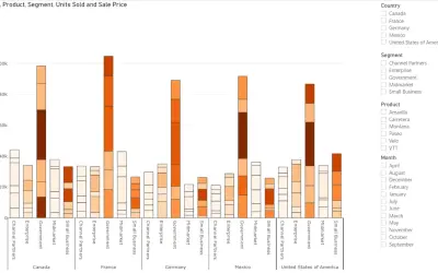
Power Plot Visual by Akvelon
Creates visualizations from diverse chart types, combines multiple charts on one canvas, and adds custom annotations and tooltips.
AkvelonFreemium
Maps, edits, and analyzes spatial data in 2D, 3D, and 4D with ArcGIS Pro.
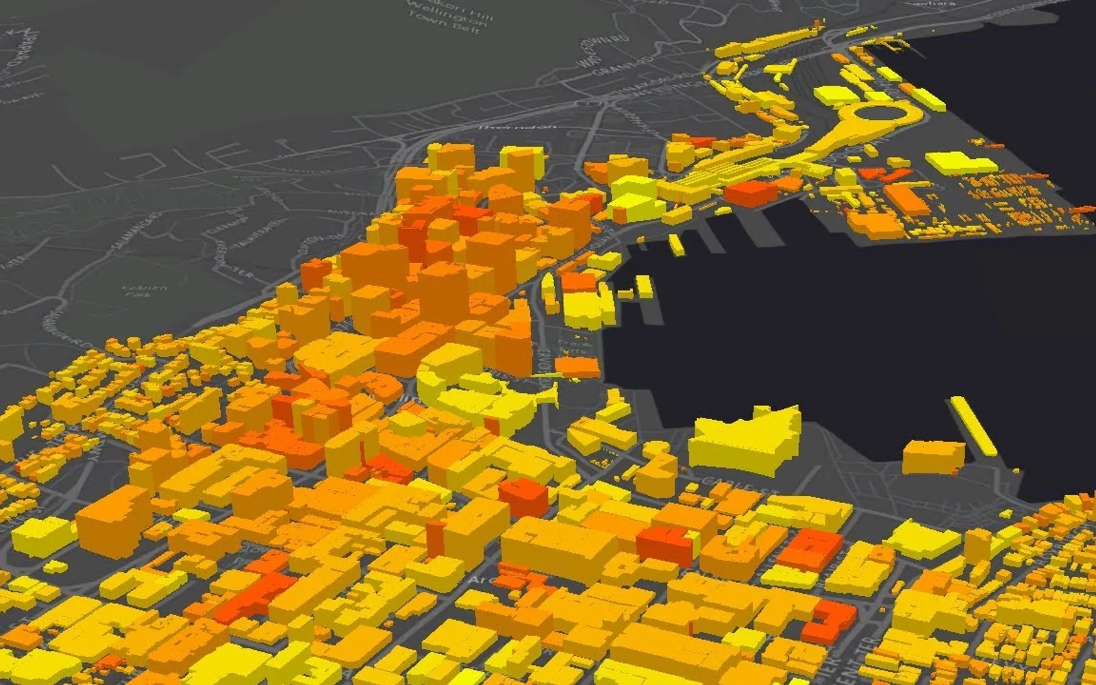
ArcGIS Pro combines spatial data from multiple sources for mapping, visualization, editing, and analysis. It supports imagery workflows, spatial data management, and scientific analysis across 2D, 3D, and 4D data. Projects and results can be shared through ArcGIS Online, ArcGIS Enterprise, web services, mobile apps, prints, or packages. The application can also run in a Desktop as a Service environment for Microsoft Azure customers.
Creates and manages maps and layouts while displaying data in 2D and 3D.
Analyzes 2D, 3D, and 4D data to examine patterns and make predictions.
Works with imagery collections from drones, satellites, lidar, and other sources.
Stores, edits, and manages spatial data, including big and real-time data.
Combines information from multiple sources and formats within projects.
Automates workflows with ModelBuilder or Python.
Publishes maps and analysis results as web services, prints, online content, enterprise content, or packages.
2,531 plugins in Analytics
Price distribution: 125 free, 147 freemium, 1,350 paid, 909 price not published
Creates visualizations from diverse chart types, combines multiple charts on one canvas, and adds custom annotations and tooltips.
Akvelon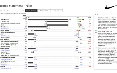
Creates financial and business reports in Power BI with automatic variance calculations, P&L logic, and drill-down (s5, s6).
Zebra BI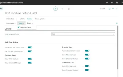
COSMO Text Module provides extended text management with a WYSIWYG editor for Microsoft Dynamics 365 Business Central.
COSMO CONSULT
Discover the why behind your data.
Data Courage«ArcGIS Pro provides the world's most powerful, modern mapping application for data visualization, advanced analysis, and authoritative data maintenance in 2D, 3D, and 4D. It supports data sharing across a suite of ArcGIS products such as ArcGIS Online and ArcGIS Enterprise, and enables users to work across the ArcGIS …»