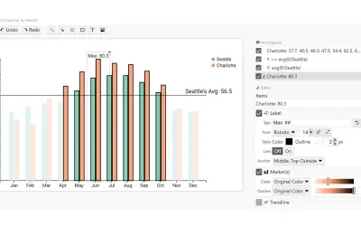
ChartAccent - BarChart
A ChartAccent visual that creates annotated bar charts and highlights individual bars, data series, or above-average bars.
Donghao RenPaid
Creates an interactive data globe in GitHub from location coordinates, names, and values.
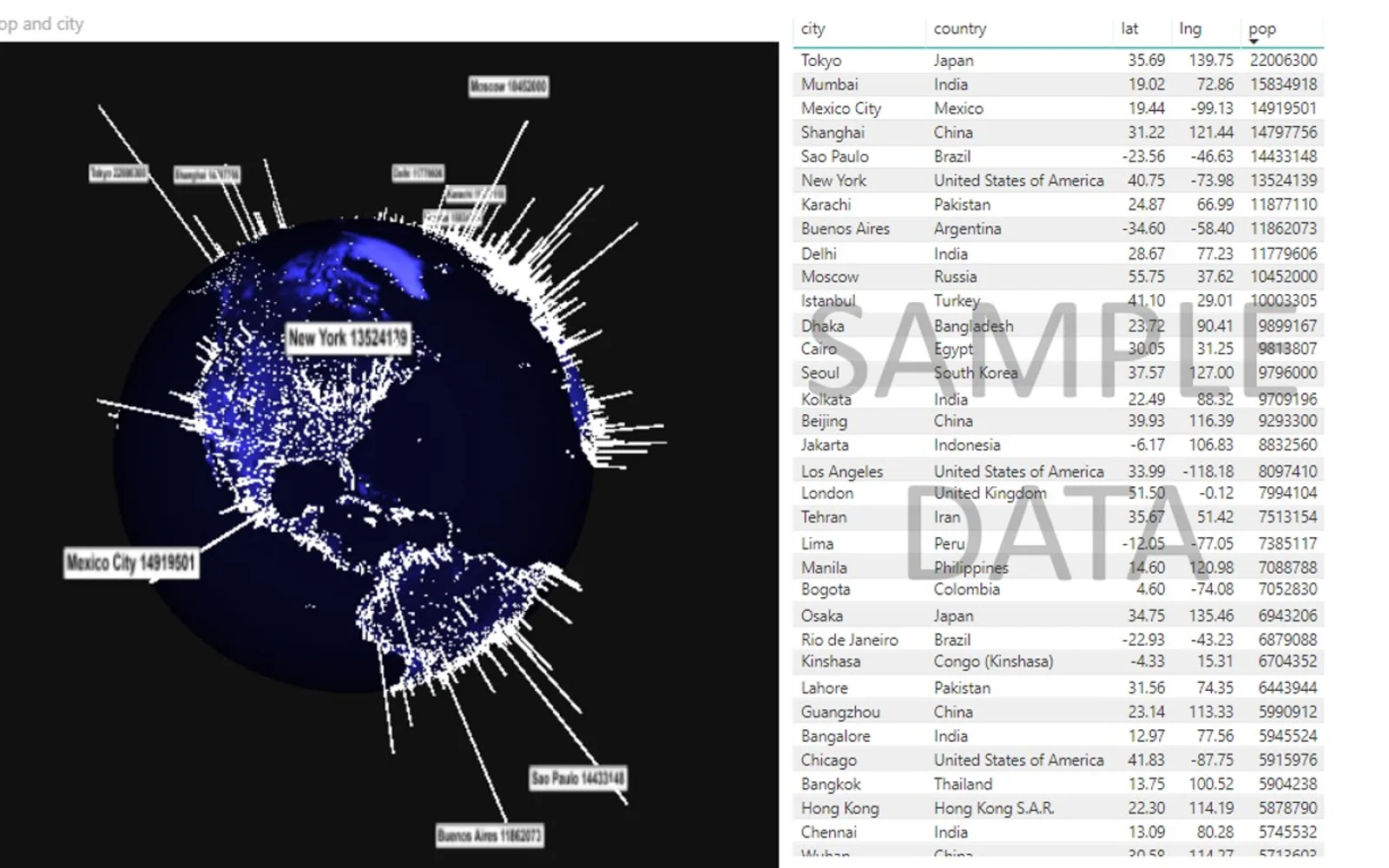
Creates an interactive globe using latitude, longitude, a data value, and a location name. Up to the top 10 input values can appear as labeled tooltips above their data bars. Settings include background color, global lighting, visible tooltip count, and data bar color. The visual uses WebGL.
Displays data on a globe using latitude and longitude coordinates.
Represents input data values with bars at corresponding locations.
Shows names and values for up to the top 10 input values by default.
Provides settings for background color, global lighting, visible tooltip count, and data bar color.
Uses WebGL to power the visual.
Globe Data Bars and ChartAccent - BarChart are both paid listings with cloud deployment. Globe Data Bars was updated on Sep 2025, while ChartAccent - BarChart shows an update date of Sep 2025. The alternative does not include stated capabilities in the supplied catalog data.
| Name | Pricing | Deployment | Updated |
|---|---|---|---|
| this plugin | Paid | Cloud | |
| ChartAccent - BarChart | Paid | Cloud |
51 plugins in GitHub · Analytics
Price distribution: 1 free, 2 freemium, 42 paid, 6 price not published
A ChartAccent visual that creates annotated bar charts and highlights individual bars, data series, or above-average bars.
Donghao Ren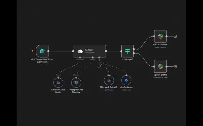
n8n is a workflow automation and AI app platform that connects APIs and internal tools for business processes.
n8n GmbH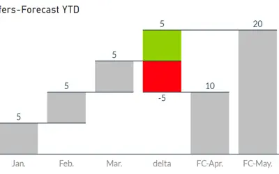
Waterfall-Visual-Extended renders waterfall and bridge charts with delta elements, custom bars, and configurable labels and axes.
Auxil Management GmbH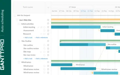
Task, resource, cost, and deadline management with team collaboration in GanttPRO, an online project management solution.
XB Software«Globe Data Bars is a free visualization that lets you create an interactive globe of data. Supply the visual with Latitude/Longitude coordinates, as well as a data value and name for that location, and you will quickly have a global view of your data. By default, up to the top 10 values you input will have a name and …»