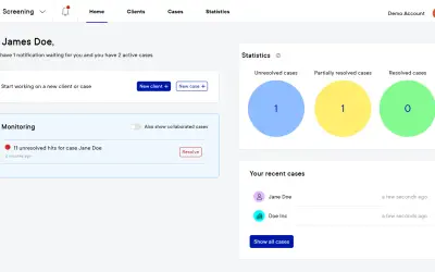
AI-powered compliance support platform
Pascal provides AI-powered KYC and AML screening and monitoring for organizations managing compliance assessments.
Vartion B.V.Paid
Generates 3D terrain models from selected Earth-surface rectangles through a REST API.
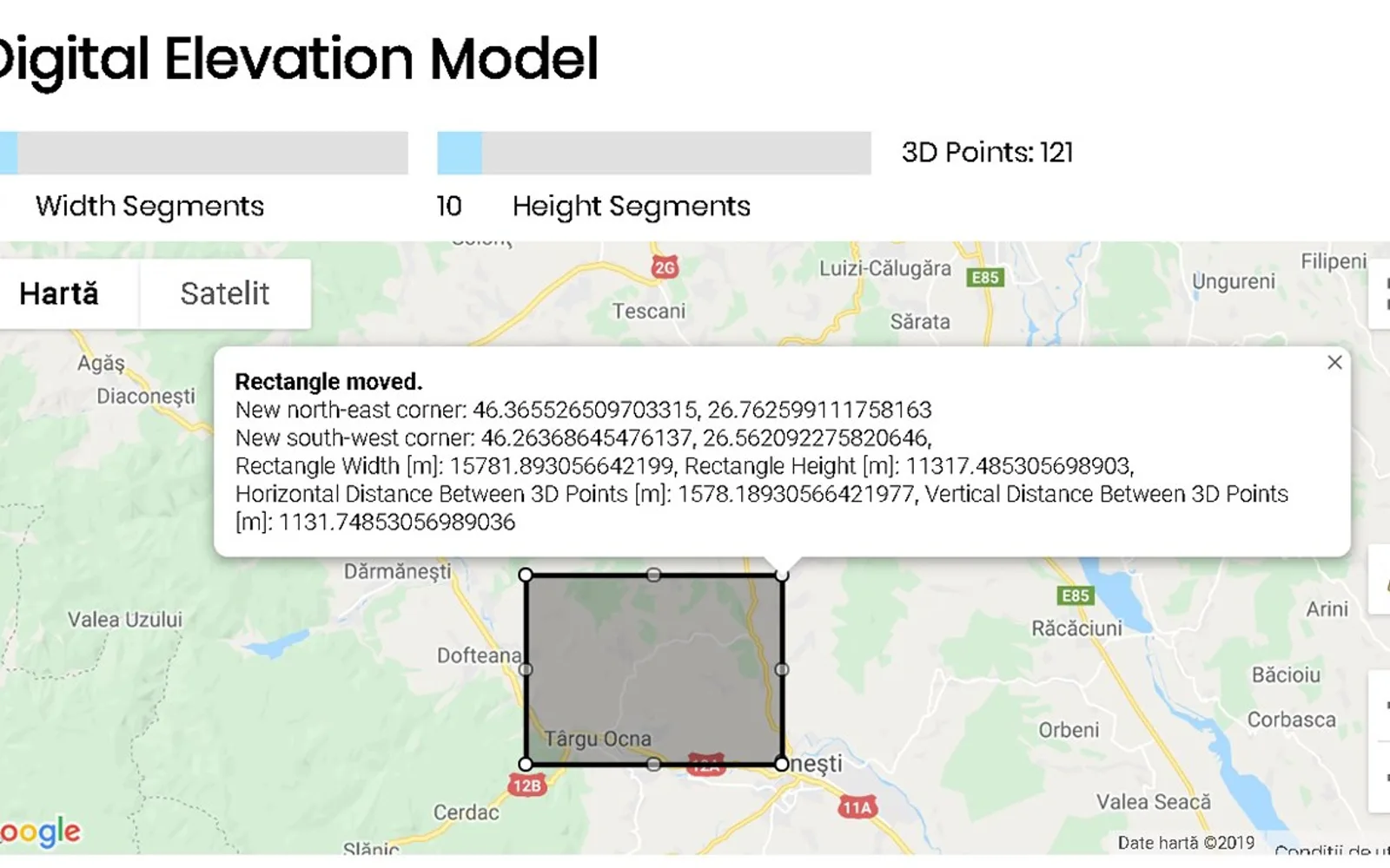
Accepts rectangle coordinates, width divisions, and height divisions in an authorized JSON POST request. Returns a JSON response containing 3D point coordinates and rectangle measurements. An online application can also provide a GLTF mesh file and related data. The API supports up to 2601 3D points per request.
Creates a digital elevation or terrain model as a 3D mesh from a selected rectangle.
Uses northeast and southwest latitude and longitude coordinates with width and height segment counts.
Returns 3D point coordinates, rectangle dimensions, and horizontal and vertical point distances in JSON.
The online application provides a GLTF file of the generated mesh 3D model.
The API is intended for software developers.
497 plugins in Legal & Compliance
Price distribution: 16 free, 20 freemium, 233 paid, 228 price not published
Pascal provides AI-powered KYC and AML screening and monitoring for organizations managing compliance assessments.
Vartion B.V.
Standardizes purchase requisitions and multi-level approvals for finance, procurement, and operations in Business Central.
Evincible Solutions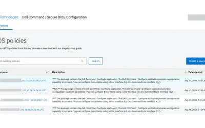
Cloud-based tool that replaces BIOS passwords with certificate-based configuration management for Dell commercial devices.
Dell TechnologiesCLM365 - Contract Management add-in for Microsoft Teams and SharePoint that keeps contract data in Microsoft 365.
Apps 365 and HR 365«Digital Elevation Model API - Terrainizer (a solution to digital terrain model) is a cross browsers REST API supporting now a maximum of 2601 3D Points per request including all the selected rectangled surface as an array of equally distanced 3D Points as you may see in the figure below. The digital elevation model or …»